Aerial Imaging Solutions for Real Estate
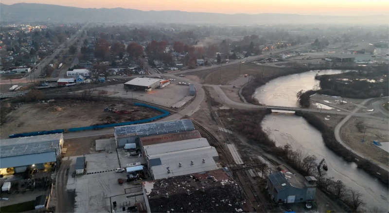
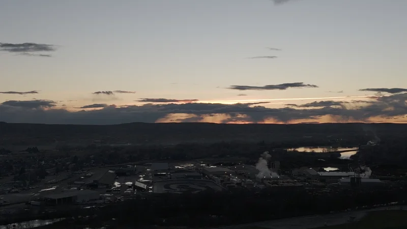
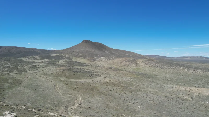
Discover the full potential of your real estate ventures with Land By Drone’s cutting-edge aerial imaging solutions. From stunning aerial photography to immersive videography, our services provide a unique perspective that showcases your properties in the best possible light.
Accurate Mapping and Monitoring Made Easy
Real estate agents and developers rely on accurate mapping and monitoring to make informed decisions. At Land By Drone, we utilize state-of-the-art technology to capture detailed aerial imagery for mapping and monitoring purposes. Whether you’re assessing property boundaries, monitoring construction progress, or showcasing amenities, our aerial services offer unmatched precision and clarity.
On-Site Office and Communications Setup
One of the unique advantages of partnering with Land By Drone is our capacity to facilitate on-site office and communications setup. This allows our clients to inspect their properties and structures without ever leaving the comfort of their workplace or home. With seamless communication and feedback channels, we ensure that you receive the best value for your investment.
Tailored Services for Real Estate Professionals
Real estate investors, developers, and agents rely on Land By Drone for personalized services tailored to their specific needs. Whether you’re marketing residential properties, showcasing commercial developments, or conducting land surveys, our team delivers exceptional results that set your listings apart.


